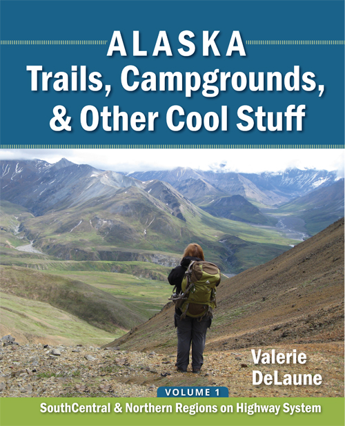
Taylor Highway
MP 0
| Taylor Highway
| There are several ATV trails that depart from the Taylor Highway, in addition to some cross-country hiking opportunities, and one developed pedestrian-only trail. | Downloads:
|
MP 34.4
| Cross-country routes
| Access: Park on the west side of the highway. From the northern turn into the pull-out, cross the road and start on an ATV track through the alders on the east side. The surrounding alpine ridges are accessible from here.
Lat N 63⁰ 41.906’ Long W 142⁰ 15.639’ Elevation 3443’ |
|
MP 35.1
| Mt Fairplay Wayside
| Access: The wayside is located on the east side of the highway. There are interpretive signs.
Lat N 63⁰ 42.352’ Long W 142⁰ 16.066’ Elevation 3360’ | Downloads:
|
MP 43
| Logging Cabin Creek Wayside
| Access: Turn off to the west just before the 43 mile marker and before crossing Logging Cabin Creek. The turn-off is unmarked. There are no restrooms, and one picnic table.
Lat N 63⁰ 48.130’ Long W 142⁰ 12.782’ Elevation 2272’ | Downloads:
|
MP 49
| West Fork Campground and River Access
| Access: Turn west into the campground. Nice campground, private sites.
Lat N 63⁰ 53.218’ Long W 142⁰ 14.078’ Elevation 1864’ | Downloads:
|
MP 49.2
| West Fork River Access
| Access: Turn west into the parking lot for the launch ramp.
Lat N 63⁰ 53.357’ Long W 142⁰ 14.114’ Elevation 1854’ | Downloads:
Fortymile Wild and Scenic River Brochure
|
MP 64.3
| Mosquito Fork Bridge Wayside | Access: Cross the river to the north, and then turn west.
Lat N 64⁰ 03.948’ Long W 141⁰ 59.662’ Elevation 1620’ | Downloads:
Fortymile Wild and Scenic River Brochure
|
MP 66 | Chicken |
| Links:
Chicken (also gas) (the gas station off the road near the saloon is open later at night and offers free overnight camping)
|
MP 68.2
| Mosquito Fork Dredge Trail
| Access: Parking on the east side of the road.
Lat N 64⁰ 03.728’ Long W 141⁰ 55.453’ Elevation 1964’
Distance: .7 miles Elevation Drop: 358’ Difficulty: Easy/Moderate Best Months: Summer, Fall
There are viewpoints at 362’, .23 mile, .41 mile, .72 mile, and then at the end of the trail where you can see the Dredge from above. Most of the trail wanders through the trees, and there is one section of rotting boardwalk where you should be careful. Valerie’s Rating: ❸ | Downloads: |
MP 75.3
| South Fork Bridge Wayside
| Access: Turn north, just before the south end of the South Fork bridge.
Lat N 64⁰ 03.463’ Long W 141⁰ 46.133’ Elevation 1533’ | Downloads:
Fortymile Wild and Scenic River Brochure
|
MP 82
| Walker Fork Campground
| Access: Turn east into the campground. It’s a nice enough campground, but most sites are pull-through and not private, though there are a few private sites.
Lat N 64⁰ 04.622’ Long W 141⁰ 37.704’ Elevation 1728’ | Downloads:
|
MP 95.5
| Jack Wade / Top of the World Highway Intersection | Curve east for Dawson, YT, Canada. It is 13 miles to the border. The Davis Dome Wayside is a pull-out to the north, just before the Canadian border. | Links: US Customs & Border Protection
|
MP 112
| Fortymile Bridge Wayside
|
| Downloads:
|
MP 160
| Eagle / Fort Egbert
|
| Links:
Downloads: |


